Geophysical studies are the most common method in oil and gas exploration companies which is used to determine structure and area of subsurface geological structures and also for development of oil and gas fields.
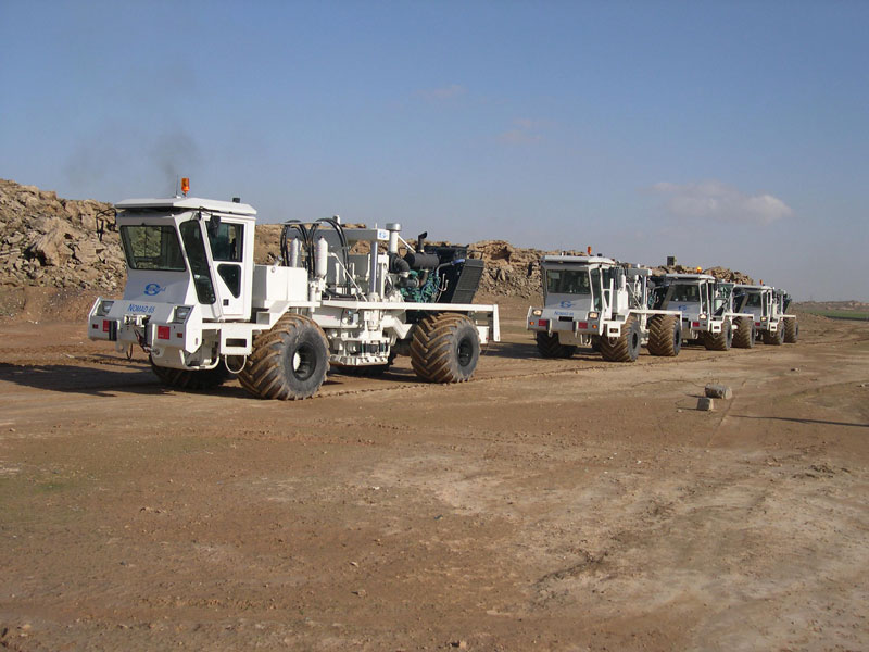
Seismological study is a geophysical method which includes different activities including gathering, processing, explaining and defining seismological data. Results of these studies may subsequently used for preparation of graphic models from subsurface structures.
In 2D seismology which is performed by the purpose of providing general scheme from subsurface structures, data gathering is done on seismological routes and in areas with far distances; while 3D seismology, the routes and points are more concentrated which will provide required conditions for preparation of 3D images from subsurface horizons.
Exploration Deputy with more than 2decade experience in 2&3D seismic project and completing:
Land 3D Data Acquisition: 20,900 sq km
Land 2D Data Acquisition: 28,600 km
Marine 3D Data Acquisition: 7000 sq km
Marine 2D Data Acquisition: 14,500 km


